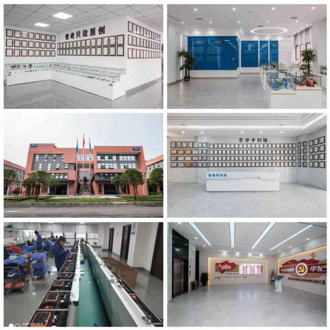
Hunan Puqi Water Environment Institute Co.Ltd.
PQWT is a research institute specializing in researching and
developing of water leak detector and geological exploration
equipment
Hunan Puqi Geologic Exploration Equipment Institute and Hunan Puqi
Water Environment Research Institute were established in May 2006;
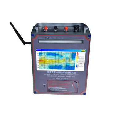
Puqi Institutes mainly engaged in the research and development of
following area: geophysical exploration, pipeline network loss
reduction, disaster prevention and mitigation, earthquake warning,
ground penetrating communication, smart pipeline and life
searching.
In recent years, a total of hundreds of millions of yuan has been
invested in research and development of scientific research
projects and the construction of talent teams. Adhering to the
strategic goal of "invigorating science and technology and
strengthening talents", Puqi Institues cooperated and established a
long-term cooperative relationshipwith many national scientific
research institutions,colleges and universities, and undertaken a
number of national scientific research projects. Puqi Institues
jointly established the "13th Five-Year National Water Special
R&D Base" with Harbin Institute of Technology;
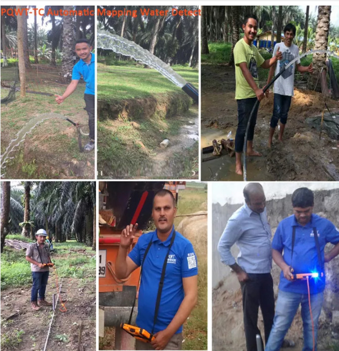
In 2016, Puqi was listed on CCTV's list of brands. In 2017, Puqi
Industry-University-Research Innovation Fund was established. Puqi
products have been exported to 154 countries. In 2019,Puqi won the
second prize of Hunan Province Science and Technology Progress
Award.